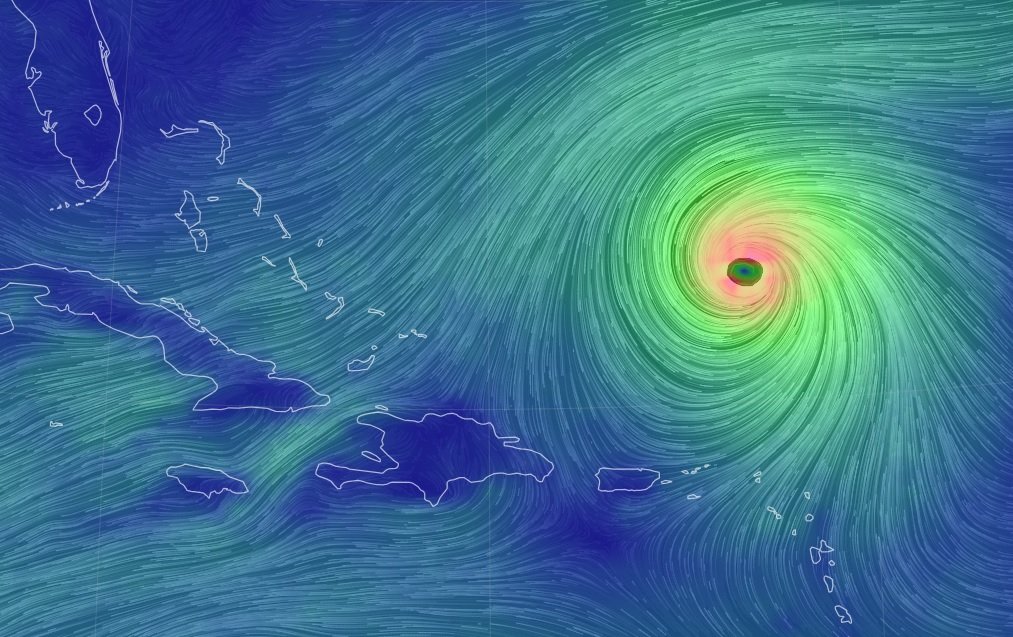
Santo Domingo.- Hurricane Lee has regained major category status with maximum sustained winds of 120 miles per hour (195 kilometers), while Tropical Storm Margot may become a cyclone on Monday. Currently, neither of them poses a land threat, according to the United States National Hurricane Center (NHC) in Miami. However, Lee may bring hazardous conditions to the western Atlantic beaches this week.
Lee, a Category 3 hurricane out of 5, is positioned around 285 miles (455 kilometers) north of the Leeward Islands (Lesser Antilles) and is moving west-northwest at 8 miles per hour (13 km/h). In recent days, Lee fluctuated between Category 5 and Category 2 on the Saffir-Simpson scale.
Hurricane-force winds extend up to 45 miles (75 km) from Lee’s center, with tropical storm-force winds reaching up to 175 miles (280 km) from the center. Forecasts suggest Lee will pass well north of the northern Leeward Islands, the Virgin Islands, and Puerto Rico over the next two days. Additional strengthening is expected, with possible intensity fluctuations on Monday and Tuesday. The NHC warns of dangerous waves and currents affecting various regions.
Tropical Storm Margot is also of concern, with maximum sustained winds of 65 miles per hour (100 km). It is likely to become a hurricane on Monday. Margot is positioned about 1,175 miles (1,895 km) west of the Cape Verde Islands, moving north at approximately 9 miles per hour (15 km/h). Tropical storm-force winds extend up to 80 miles (130 km) from its center.

